When Will the Snowfall Stop in Samara? Forecast Released


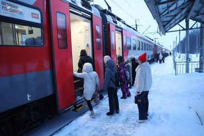
A snow cyclone has blanketed the Samara region, causing significant disruption. Not everyone managed to get to work on time on the morning of Tuesday, 3 February. We have found out for how many more days precipitation will continue in the region.
«During the day on 3 February there will be heavy snow, with snowdrifts on the roads. On the night of Wednesday, 4 February, light to moderate snow is forecast. During the day, there will be no precipitation. For the next three days — 5, 6, and 7 February — snow is also not expected,» reported the Privolzhsky Hydrometeorological Center (Privolzhsky UGMS).
Meteorologists had warned of the approaching bad weather the day before. They forecast heavy snow with visibility reduced to 500–1000 meters. In connection with this, a yellow danger level was announced for the region.
On Monday morning, 3 February, Samara was paralyzed by level 10 traffic jams. We are monitoring the developments around the snowfall online.
After the snowfall, severe frost is expected to arrive in the region. On the night of 4 February, meteorologists forecast a drop in temperature to -26°C (-15°F). During the day, it will be slightly warmer — from -21°C to -16°C (from -6°F to 3°F).