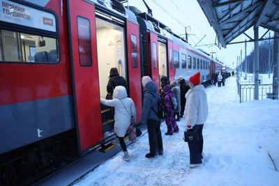
Atmospheric Vortex Approaching Southern Urals

The Chelyabinsk Hydrometeorological Center has released a video forecast indicating the approach of an atmospheric vortex to the Southern Urals on Monday, February 2. Forecasters explained:
The area of high pressure that formed over Siberia is blocking the movement of cyclones eastward across the Urals. By Wednesday, the influence of the anticyclone will weaken, and it will be replaced by a low-pressure atmospheric vortex — with the movement of the atmospheric front, light to moderate snow is expected in the region. Temperatures are forecast to be 4–8°C above normal.
However, after the cyclone departs, frosts will return to the Chelyabinsk region. The hydrometeorological center concluded:
Thermometers will drop to -20...-25°C (-4...-13°F), and in lowlands to -28°C (-18°F). Precipitation will stop over most of the territory, resuming only by the end of the week due to the passage of a warm atmospheric front and the anticyclone moving further east.
On Tuesday, February 3, variable cloudiness is expected in the region. Night temperatures will be -11...-16°C (12...3°F), clearing to -20°C (-4°F), in the extreme west to -6°C (21°F). During the day, the air will warm up to -6...-11°C (21...12°F), and in the west of the region to -1°C (30°F). In Chelyabinsk, light snow is expected at night, the thermometer will drop to -12...-14°C (10...7°F), during the day it will warm up to -8...-10°C (18...14°F).