Roscosmos reveals cyclone from space that warmed Volgograd
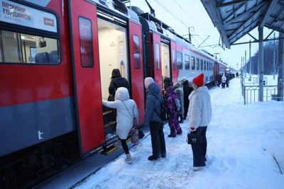
Roscosmos has been monitoring an atmospheric vortex for three days, with the cyclone causing snowfall in Moscow and a sharp temperature rise in Volgograd.
Mar 1, 2026 0
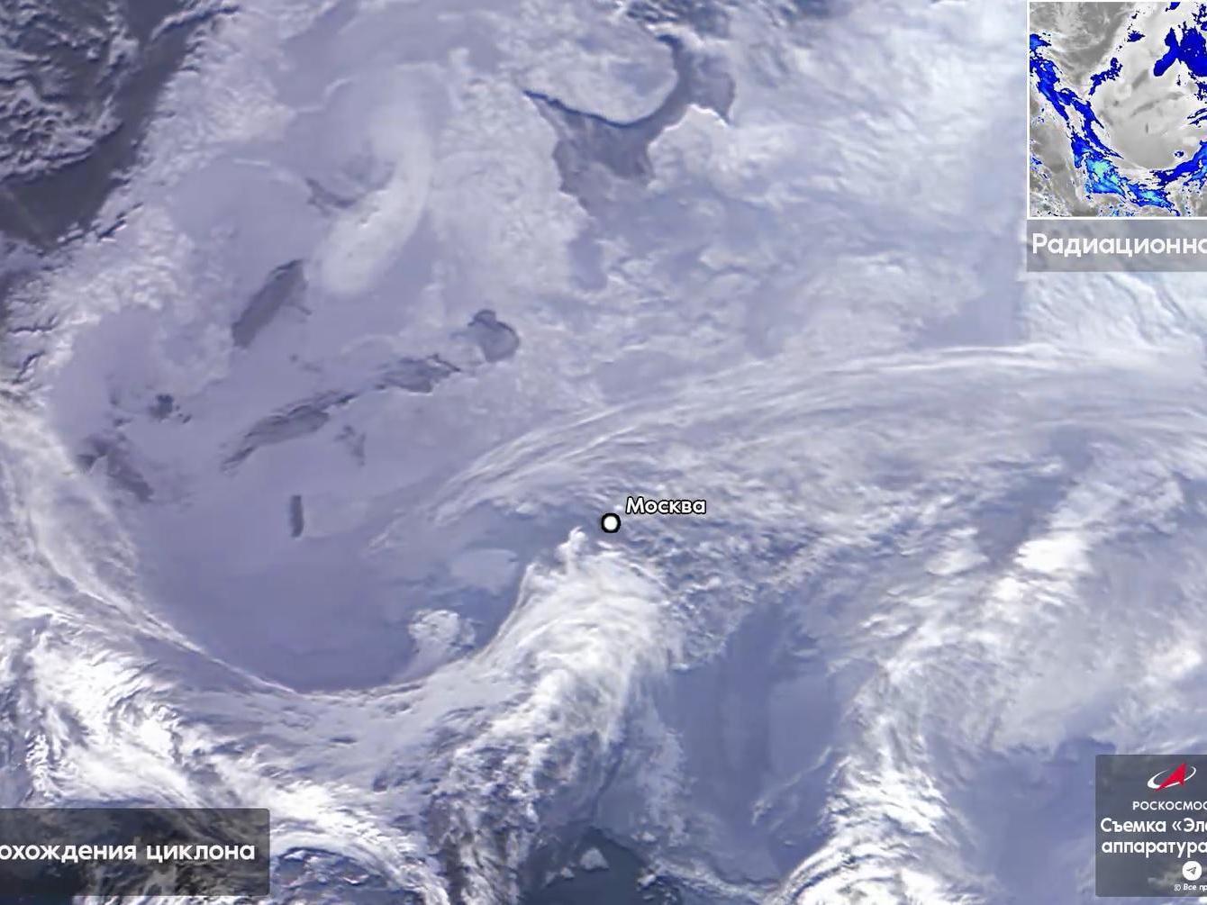

Filmed from 40,000 kilometers away, the cyclone appears as a massive swirling cloud system.
Source:
Russia«s space agency has published a one-minute video on its Telegram channel, showing a massive cyclone captured from an altitude of 40,000 kilometers. This atmospheric vortex caused snowfall in Moscow and a sharp temperature rise in Volgograd.
The video clearly shows the European territory of Russia from the Baltic Sea coast to the Ural Mountains. The capital is marked by a large white dot, while over Volgograd, a dense layer of clouds completely blocks the sun.
According to the Volgograd Center for Hydrometeorology and Environmental Monitoring (Volgograd TsGMS), weather abnormally warm for January will persist in the region for the next two days — until the beginning of February. During this period, precipitation in the form of wet snow and rain is expected.
After the cyclone shifts eastward, frosts of around minus 20 degrees Celsius (minus 4 degrees Fahrenheit) will return to the Volgograd region. Atmospheric pressure will rise, and the sky will clear.
Read more