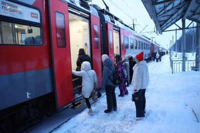
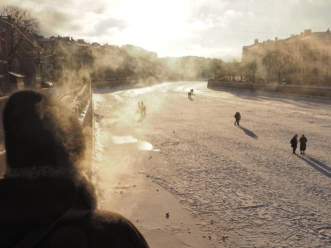
February in St. Petersburg may begin with record cold

The weather in the Northern Capital for the coming days will be determined by the periphery of a cold atmospheric vortex that has shifted from Scandinavia. High pressure will keep temperatures below seasonal norms, and the probability of precipitation will remain insignificant.
Leading specialist at the FOBOS center, Mikhail Leus, noted that under such conditions, nighttime temperatures could update the lows of the current winter season.
Detailed forecast by day
Friday, January 30: The sky will be covered with clouds with periods of clearing, no precipitation is expected. During the day, thermometers will show -10–-12°C (14–10°F). Wind north, 1-6 m/s. Atmospheric pressure will continue to rise and reach 770 mm Hg, which exceeds the norm.
Saturday, January 31: Variable cloudiness is expected, with light snow possible in some areas. At night -14–-16°C (7–3°F), during the day -11–-13°C (12–9°F). Wind northeast, 2–7 m/s. Pressure will rise to 774 mm Hg, remaining above normative values.
Sunday, February 1: Cloudy with clearings, no precipitation. At night the temperature will drop to -17–-19°C (1–-2°F), during the day it will be -12–-14°C (10–7°F). Wind northeast. Atmospheric pressure will begin to decrease but will remain elevated — about 772 mm Hg.
The weather pattern will change on Monday. The region will come under the influence of the northwestern periphery of a cyclone that will move from the south to the Upper Volga region. Cloud cover will increase, with some light snow in places during the day, and temperatures will rise somewhat — after noon to -7–-9°C (19–16°F).