Only official beaches across the republic — we've compiled them for you. We tell you how to get there.
Jul 23, 2026 0
The Inzer River area is known for its clear waters and picturesque banks.
Source:
Тимур Шарипкулов / UFA1.RU
Bashkortostan has many great spots for river recreation — both with equipped beaches and for those who prefer «wild» nature. Here are several popular options.
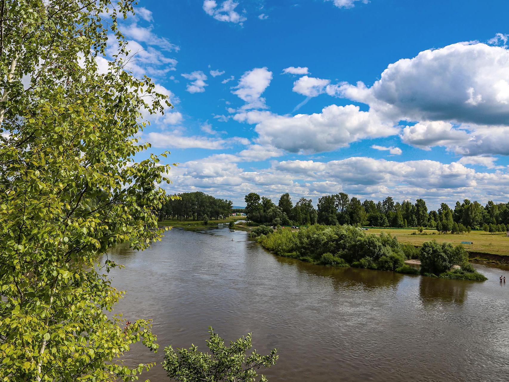
The Belaya River in Bashkortostan has both official and unofficial beaches.
Source:
Булат Салихов / UFA1.RU
1. Belaya River (Agidel)
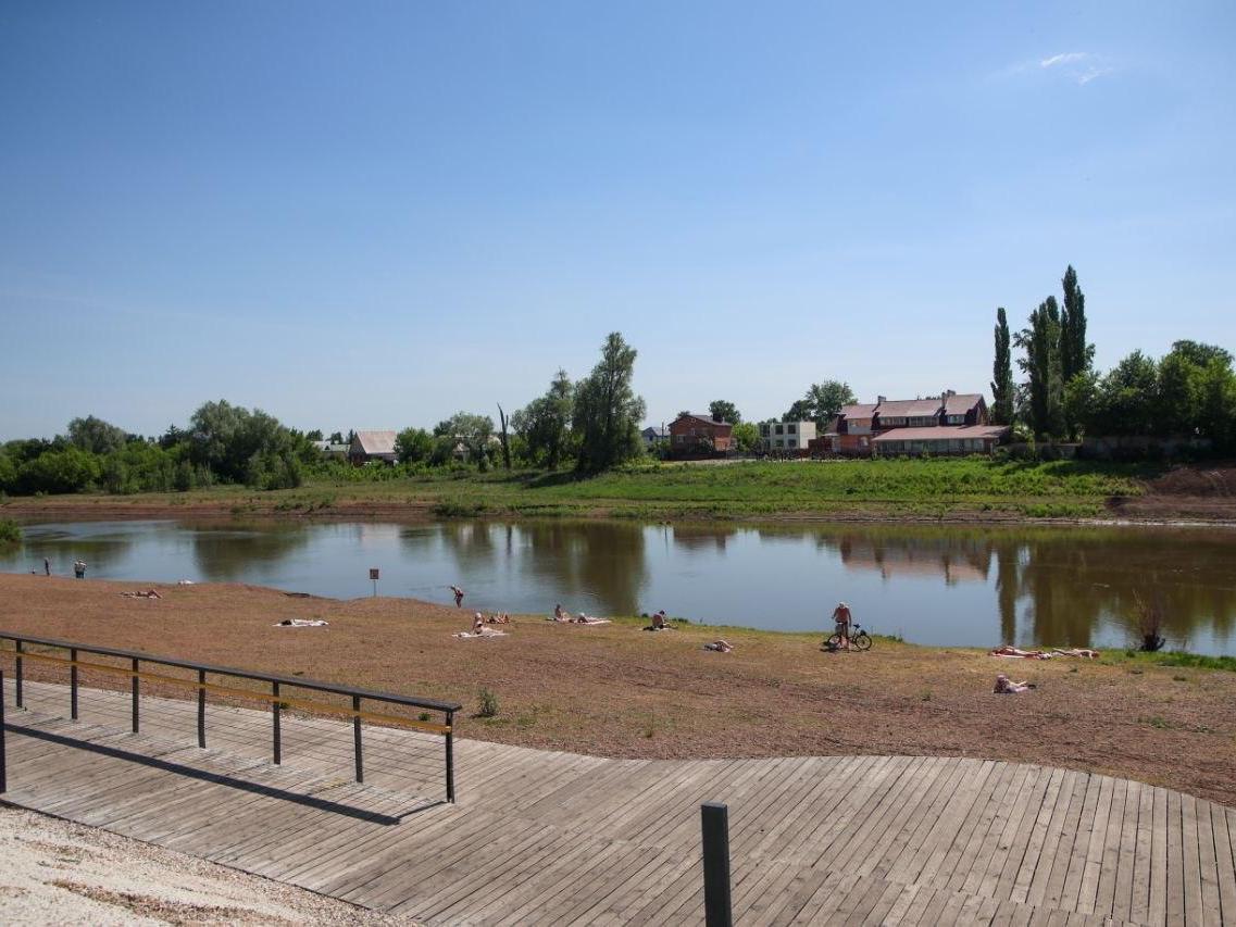
Sterlitamak has one official beach near the Belsky Bridge.
Source:
Шаймарданов Эмиль / t.me/emil_shaymardanov
This is the main, longest, and most voluminous river in the republic. It has several equipped and unequipped beaches where you can relax comfortably.
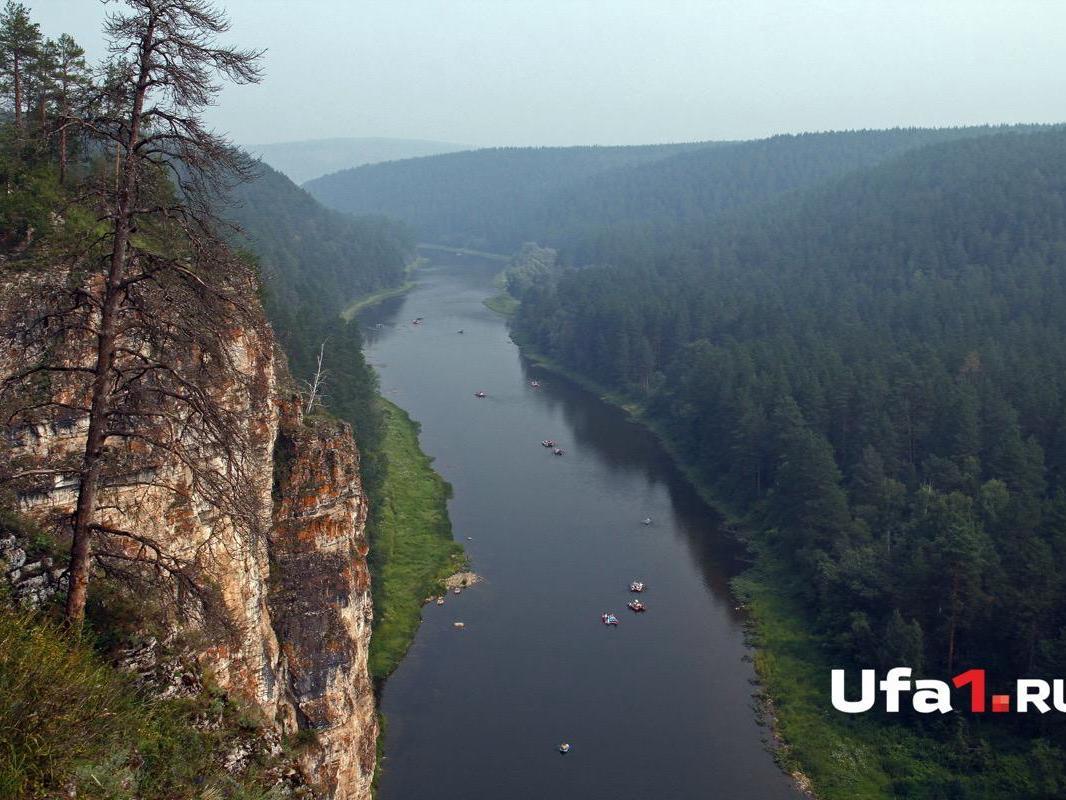
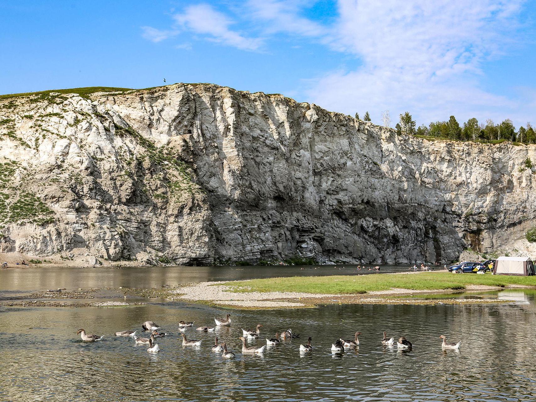
The Ay River (Lunar River) viewed from Bolshiye Pritesy rock observation deck in Salavat District.
Source:
Тимур Шарипкулов / UFA1.RU
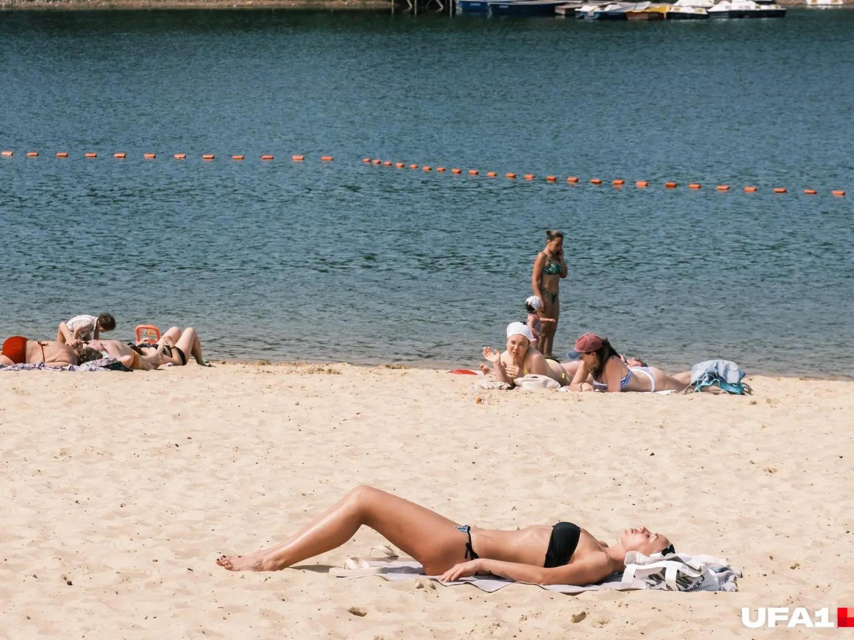
Ufa: Solnechny Beach opposite the Friendship Monument
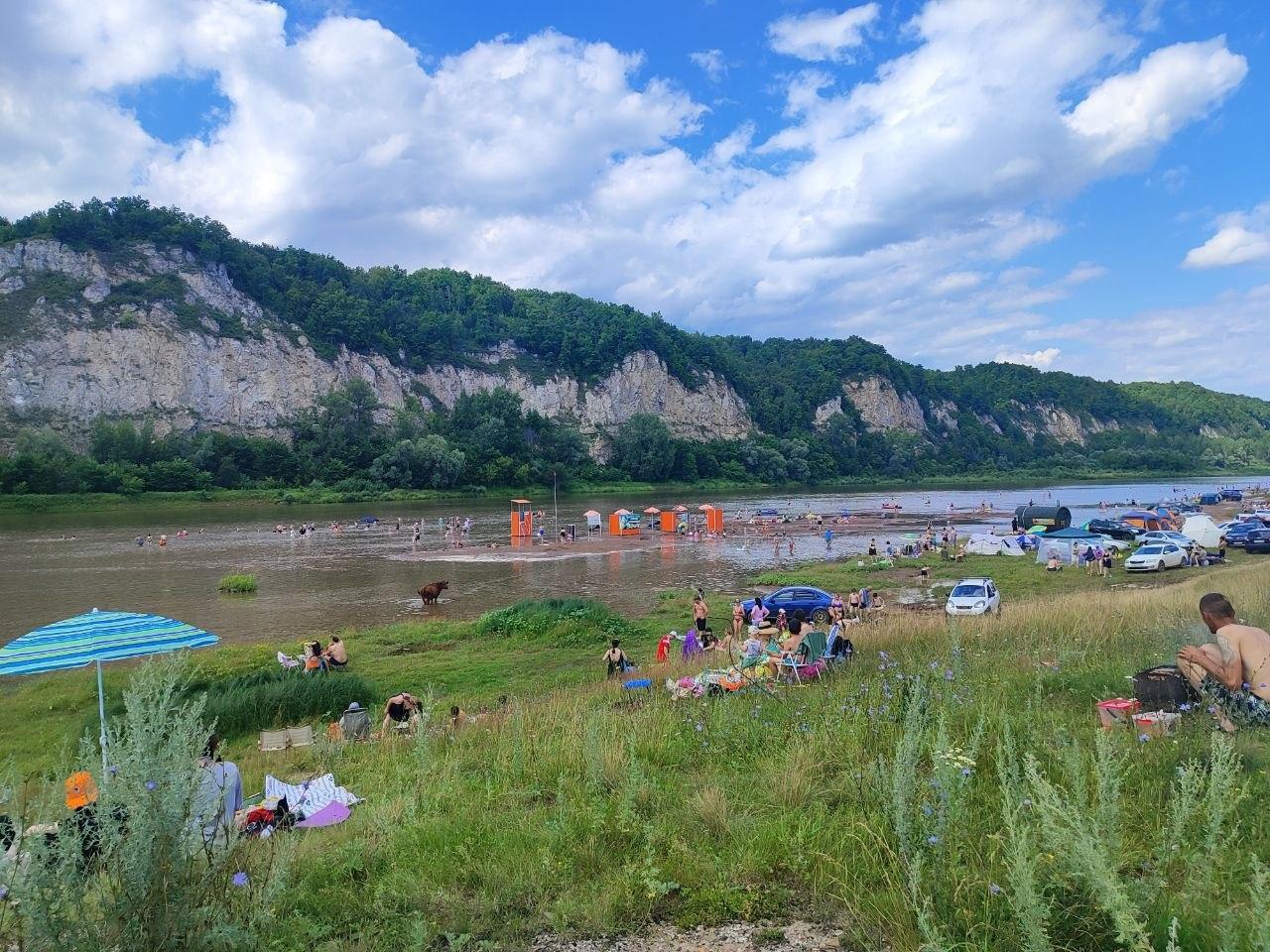
Simsky Beach is located near the confluence of the Sim and Belaya rivers.
Source:
Марина Каримова / UFA1.RU
By public transport: take bus routes 14, 57, 57a, 101, 110, 110s, 121k, 121s, 126k, 129k, 142, 151k to the Shkolnaya Street stop. From there, walk down to the river under the Belsky Bridge — that«s the beach.
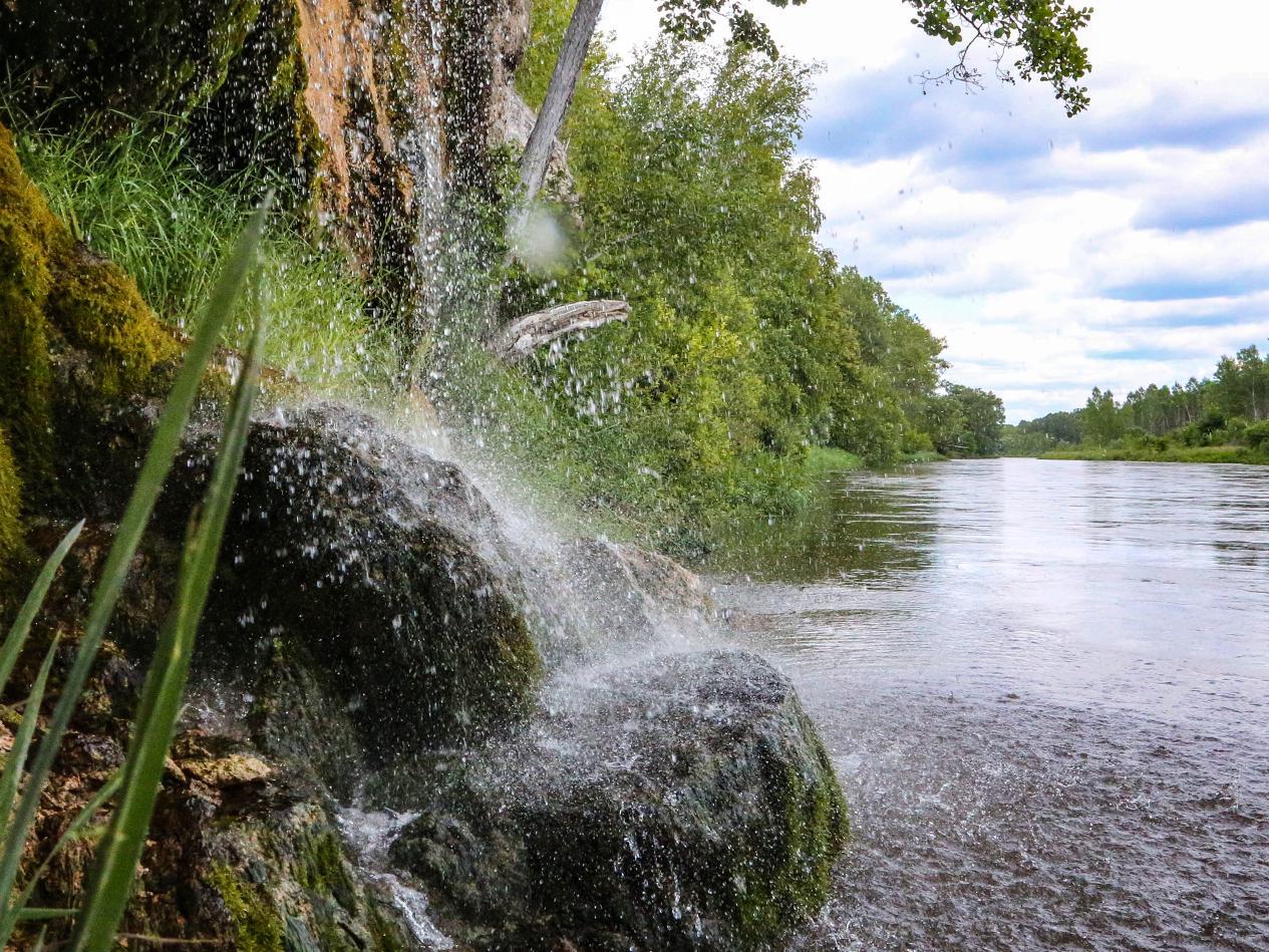
The Mirror Waterfall in Abzanovo is a popular attraction near the Inzer River.
Source:
Тимур Шарипкулов / UFA1.RU
By car: drive to the Belaya River embankment — there is parking nearby.
Scenic spots along the rivers of Bashkortostan offer great photo opportunities.
Source:
Тимур Шарипкулов / UFA1.RU
Vodnik Beach in Zaton
By public transport: go to Rechnoye Uchilishche stop (routes 24, 30, 30k, 107, 108, 112).
By car: from the stop, turn toward Pozharskogo Street, go to building 279, then turn left onto Soyuznaya Street and continue to building 6/2.
Ak-Yar in Nizhegorodka and Zaton
By public transport: go to the left bank of the Belaya River stop (route 24).
By car: drive to Akhmetova Street.
Despite differing locations and levels of private initiative, these areas share common features: lifeguards are on duty at all; all have sanitary zones (toilets, changing cabins) and garbage collection points; and all have sports fields and recreation areas.
You can also cool off in the Agidel waters on a river cruise. Sightseeing boats regularly depart from the new embankment — hourly on weekdays from 12:00, and on weekends from 11:00 to 22:00.
One of Ufa residents« favorite spots is the Visyachy Kamen rock (Hanging Stone). It»s near the Voronki railway station. You can reach it by walking down from Slavy Boulevard and crossing Blyukhera Street — about a 20-30 minute walk from the stop.
Sterlitamak: Beach near the Belsky Bridge
This is a specially equipped recreation area by the Belsky Bridge. Before the season, extensive work was done: the bottom was surveyed, water and soil samples were taken, a lifeguard station was installed, fresh sand was brought in, changing cabins were set up, and buoys were placed. The area now includes: rest zones; boat and catamaran rentals; and places to eat (food and drink outlets).
How to get there: leave Ufa toward Sterlitamak (toward Beloretsk/Magnitogorsk), drive through Bulgakovo and Tolbazy, cross the Belaya River on the new bridge (bypass road), then continue on route R-240 toward Sterlitamak.
Drive through the city, following signs to the bridge over the Belaya River. After the bridge, continue on Khalaturina Street (landmark: building 290). The road to the beach is generally in good condition, but in rainy weather there may be washouts, so choose more passable sections.
It takes about 2 hours by car. The distance along the highway is about 130–134 kilometers (81–83 miles).
Beach in the village of Pribelsky (Karmaskaly District, Pugachyova Street)
The beach is included in the list of safe swimming spots — it is inspected annually by EMERCOM (the Russian Ministry of Emergency Situations). But a word of warning: the infrastructure here is modest. There are changing cabins, but no permanent lifeguard station (so it«s not advisable to swim alone); you can find spots for a barbecue grill nearby, but there may not be a designated area.
Overall, the place is suitable for a quiet outdoor getaway, but don«t expect a wide range of services.
How to get there: leave Ufa on highway R-240 (toward Beloretsk). At the fork near the village of Bulgakovo, turn left toward Beloretsk. Then follow the road to the village of Pribelsky.
In the village, look for Pugachyova Street: the beach is about 100 meters (330 feet) from building 29. The distance is about 74 kilometers (46 miles). The trip takes about 1 hour 40 minutes to 2 hours, depending on road conditions.
Beach on the Agidel (Belaya) River near the village of Staroaktashevo
A popular recreation spot among locals. This is a wild swimming and picnic area. The Belaya River is quite wide here, surrounded by beautiful nature. There is no infrastructure (cafes, changing rooms, equipment rentals), so bring everything you need.
What you can do there: swim, sunbathe, barbecue, and pitch tents.
Important nuances:
the area is not equipped for mass recreation;
in hot weather, the river water may bloom, so be cautious;
we recommend checking the current water safety situation before your trip.
How to get there: leave Ufa toward Orenburg, driving through the settlements of Lezhyabiy, Chesnokovka, Zubovo, Mokrousovo, Fyodorovka, Olkhovoye, and Salzikutovo. After the village of Salzikutovo, follow signs to the village of Staroaktashevo. In the village, head for the riverbank — there are several places to park and descend to the water. Distance: about 65–71 kilometers (40–44 miles), about 1 hour 3 minutes without traffic.
2. Dyoma River
A calm steppe river, suitable for a leisurely rest.
Dyomskye Prostory Beach in the Dyoma District of Ufa
In 2026, this beach was included in the official list of swimming spots in the Republic of Bashkortostan — meaning lifeguards are on duty and swimming is permitted.
The area is well-maintained: there are places to relax and sandy spots.
By public transport: 1) Bus No. 123 from the Southern Bus Station, going through Dyoma District to the village of Zubovo; 2) Bus No. 293 connecting the city center with remote neighborhoods, passing near the quarry; 3) Tram No. 13 for residents of northern Ufa, then a transfer to a bus; 4) Minibus No. 250, which runs more frequently but can be crowded during rush hour.
Walking segment: from the stop (depending on the route) to the beach is about 1–2 kilometers (0.6–1.2 miles). At a leisurely pace, it takes about 15–20 minutes.
By car: drive from Ufa through Dyoma District. Head toward the village of Zubovo — local roads lead to the beach. The road is generally good, but the last meters before the impromptu parking areas may be unpaved. Travel time: about 30–40 minutes without traffic.
3. Urshak River
A popular recreation spot not far from Ufa. The river«s current is moderate, and the water warms up on warm days.
Beach in the village of Bulgakovo
There is no official infrastructure here: no lifeguards, no changing cabins, toilets, or equipment rental. What you can find in practice:
a sandy bank — the main advantage for relaxation;
the possibility to pitch a tent — many come for overnight stays;
fishing: the river has perch, burbot, pike, loach, roach, gudgeon, and sterlet.
The river basin, by the way, was favored by ancient people. Fragments of ancient settlements and Bronze Age burial grounds have been found here.
How to get there: leave Ufa southwest on the Ufa–Orenburg highway, then turn toward Bulgakovo. The route goes through the settlements of Chesnokovka, Zinino, and Zhilino. Distance: about 35–40 kilometers (22–25 miles). The drive takes about 20–25 minutes depending on traffic.
4. Ay River
The Ay River partially forms the border between Bashkortostan and the Chelyabinsk Oblast. There are many natural monuments and beautiful scenic spots along the river.
Aysky Beach in the village of Mesyagutovo (Duvan District)
The beach has changing cabins, a portable toilet, a lifeguard post with a fully stocked first aid kit, rest areas, and parking.
Note: the water in the Ay is often murky due to the nature of the bottom and silt.
How to get there: take the M-5 Ural highway toward Chelyabinsk. After the village of Sharlash, turn onto highway R-242 (toward Yekaterinburg) and drive to Mesyagutovo. Travel time: about 3 hours 40–45 minutes excluding traffic and stops. Note there is a toll road section.
Bolshiye Ayskiye Pritesy (Big Ay Cliffs)
This is the most famous location. A rock wall up to 100 meters (330 feet) high stretches along the river. Right by the water there are sections with convenient descents — tourists find paths leading to the river. Although the water in the Ay is usually murky, it is suitable for swimming on a hot day.
How to get there: leave Ufa on the M-5 Ural highway toward Samara, Chelyabinsk, or Yekaterinburg. Pass Sim, then turn toward Kropachyovo. Then continue to the village of Maloyaz. After Maloyaz, turn right toward Lakly. Pass Lakly and Mezhevoy. After Mezhevoy, turn left toward the village of Alekseyevka. Near Alekseyevka there is a farm with a barrier. After that, private territory begins, but there is a well-trodden path leading to the Dry Waterfalls. Dirt roads lead to the cliffs themselves. You can park at the forest edge and walk to the cliff. There is also organized parking near the Grifon extreme sports park.
Malyye Ayskiye Pritesy (Yuldashkin Ridge)
They are located slightly upstream from the Big Cliffs, on the left bank. You can also find swimming spots here — the rocks create more secluded, shady nooks.
How to get there: also take the M-5 highway.
There are two route options:
Via Satka: turn onto Satka and drive through the towns of Sim, Nasibash, Lakly, and the settlement of Mezhevoy. After the bridge over the Ay River, turn right toward the hydrotechnical tunnel of the Kamenka River, then straight to the GRIFON extreme sports park.
Via Lakly: turn onto Kropachyovo, then drive through Maloyaz, Lakly, and Mezhevoy. After Mezhevoy, turn toward the village of Alekseyevka.
The distance from Ufa to Malyye Ayskiye Pritesy (Yuldashkin Ridge) is about 248 kilometers (154 miles). By car, the trip takes approximately 3–4 hours.
5. Sim River
Here you«ll find sandy beaches with gentle slopes and shallow water — an excellent option for a family outing with children.
Beach near the village of Askanysh
A sandy bank on the Sim River, located almost at its confluence with the Inzer. Due to the beautiful golden quartz sand, this place is often called «Golden Beach.» Surrounded by picturesque landscapes, the foothills of the Ural Mountains begin nearby. You can ride ATVs, go fishing (the river has perch, burbot, pike, and other fish), or take a walk to nearby caves. Infrastructure is absent: no toilets, changing cabins, shops, boat or catamaran rentals, gazebos, or sun umbrellas; no garbage bins — take all trash with you.
How to get there: leave Ufa from the Friendship Monument area. Drive along Pugacheva Street through the Kamennaya crossing. Along the way, you«ll pass small settlements: Zhilino, Zinino, Nagayevo, Akberdino, Karamaly. The drive takes about an hour. When you reach Askanysh, do not continue straight to the river. Go through the entire dacha settlement to the gates of the Rodniki gardening community. Leave your car in the parking lot (on good weather days, there are many cars). From the parking lot, a path leads to the beach — about a 5–7 minute walk through a small forest.
Beach beyond the village of Kuznetsovka
Here, too, there is a large sandy beach. Many come with tents. Not far from the beach is the Kueshta Cave. It is located in a mountain about one and a half kilometers from the village. Inside, there is a Blue Lake and several halls with remnants of a hut. If you go, bring flashlights, a change of clothes, and first aid supplies — exploring the cave alone is not safe.
How to get there: leave Ufa toward Chelyabinsk on the M-5 Ural highway. Pass the settlements of Baltika, Pervomayskoye, and Kaltovka. After Kaltovka, you«ll come to the village of Kuznetsovka. From its center, turn right through the fields, then left toward the riverbank. From the village to the beach is another 1–1.5 kilometers (0.6–0.9 miles) along a country road. Distance: about 70 kilometers (43 miles). The trip from the city takes about an hour.
Confluence of the Sim and Belaya Rivers (near the village of Simsky)
A large sandy beach equipped with loungers and changing cabins. There is a lifeguard booth. This is a scenic spot: on the Sim side, sandy and rocky banks; on the Belaya side, a pebble plain. If you have a boat, you can cross to the other bank, climb the rocks, and find viewpoints with beautiful views of the valley and the village. In the village of Simsky, you can rent houses. Rental costs range from about 3,000 to 7,600 rubles per night (approximately $35 to $89 at current rates).
Regarding the beach situation: in the summer of 2026, due to heavy rains, the river overflowed its banks and washed away all infrastructure. Now the situation with access and safety may be unpredictable, so we recommend checking current reviews and EMERCOM warnings in advance.
How to get there: leave Ufa toward Beloretsk. After the village of Staroshareyevo, immediately after the bridge over the Belaya, find a inconspicuous left turn toward the village of Knyazevo. Go through Knyazevo, then Kuyashkino. After Kuyashkino, you«ll reach the village of Simsky — the beach is there. Distance from Ufa: about 70–80 kilometers (43–50 miles). The trip on the highway takes about an hour to an hour and a half, but including traffic and the condition of the road from the end point to the beach (dirt road), allow extra time — about 20–30 minutes.
6. Inzer River
The water in the Inzer is clean and clear, in many places shallow, and the bottom is covered with rounded pebbles — comfortable for swimming.
The most popular beach is near the village of Abzanovo (Arkhangelsk District)
On the opposite bank from the beach is the Abzanovsky (Asinsky) Waterfall.
On the banks of the Inzer, you can rent glamping sites. Accommodation costs roughly 5,500 to 16,000 rubles per night ($65 to $188 at current rates). Additionally, you can rent sup boards and go boating. Guests are offered modern cabins with everything needed: dishes, stove, microwave, refrigerator, air conditioning. Another feature is the panoramic banya right on the Inzer bank.
How to get there: drive on highway R-240 (Ufa–Inzer–Beloretsk) toward Beloretsk. Pass the villages of Geofizikov, Dubki, Iteryakovo, and Staroshareyevo. Do not miss the turn to Abzanovo — look for a left sign. After the turn, go through the railroad crossing. There is no need to enter Abzanovo itself. Continue toward the village of Asy. After passing the cemetery, about 400 meters (1,300 feet) further you will see a tourist base on the Inzer bank. Before the base, there is a right turn onto a field road leading to the river. You can drive along it to the bank. You can leave your car right on the road by the base and walk through the campsite.
7. Zilim River
The Zilim flows through a picturesque mountain-forest area. Along the banks are rock outcrops, karst grottoes, and caves.
Beach at the Aktash Cliffs (Zilim Ridge)
The Aktash rock (from Bashkir «White Stone») is located on the right bank of the Zilim, while the beach for relaxation and picnics is on the opposite left bank — from the village of Yurmas. The river here is shallow, with a rocky bottom and a fairly strong current; the water is clean. After swimming, you can climb the rocks — the climb is easy. These spots are not equipped for mass recreation. There is no infrastructure. The beach has no toilet or shade from the sun. Drinking water can be collected from a small spring that flows directly from the rock. The river water is cool and the current is strong. In the area of the rock, the Zilim is shallow, but the current can be treacherous, so watch children especially carefully. There is no shelter from the sun — there are no trees on the bank. Bring a canopy or umbrella.
How to get there: leave Ufa on highway 80K-031 toward the village of Yurmas. Before reaching the village of Zirikovo, turn left onto the bridge over the Zilim River toward the village of Yulukovo. Drive past the villages of Yuzimyanovo and Nekrasovka to the village of Karagayevo. From Karagayevo, there are two roads to Yurmas. I recommend the bypass road: it approaches the village from the south side. At the fork, turn right following the «Zilim» sign and drive straight to a large clearing. This is where the direct and most impressive view of the Aktash rock opens up. The road from Ufa is about 140 kilometers (87 miles).
Tolparovo
If you just want to swim in the river or sunbathe on the bank while enjoying beautiful views, you can simply drive to Tolparovo and stop at any clearing you like. There are plenty of them around.
There are also tourist bases. Approximate prices:
4-person cabin — from 4,000 rubles per night (from $47 at current rates);
6-person cabin — from 5,000 rubles ($59);
large house for 12–14 people — from 30,000 rubles per night ($353);
Additional services are paid separately:
banya with enclosed stove — from 5,000 rubles ($59);
Siberian bath cauldron outdoors — from 5,000 rubles ($59);
rafting on the Zilim River — from 8,000 rubles ($94).
*Prices should be confirmed when booking.
How to get there: leave Ufa toward Sterlitamak. Near Tolbazy (near the village of Tolbazy), turn left. Then follow signs toward the Krasnousolsky resort. Then turn onto a gravel road leading to the village of Tashla. Without turning, continue to the village of Mendim. From Mendim, head straight to Tolparovo. The distance is about 194 kilometers (121 miles), travel time approximately 3 hours 13 minutes.
8. Yuryuzan River
One of the most scenic waterways of the Southern Urals!
Beach near the village of Maloyaz (Salavat District)
This is the official swimming spot in Salavat District near the village of Idrisovo. The beach is on the riverbank right at a cliff. There is the famous Salavat Yulayev Cave, where, according to legend, the Bashkir hero hid. The spot is equipped for recreation: you can swim, sunbathe, and pitch tents. There are portable toilets and changing cabins nearby.
If you decide to relax on the banks of the Yuryuzan, be sure to visit the cave. It is located only 45 meters (150 feet) above the river. Even a child can reach it easily. The cave offers a stunning view of the Yuryuzan and surrounding cliffs. An excellent spot for a photo session.
How to get there: take the M-5 Ural highway toward Chelyabinsk. The route passes through several settlements: Russky Yurmas, Leninskoye, Baltika, Austrum, Tikeyevo, Kropachyovo, and then directly to Maloyaz. Distance: about 175–177 kilometers (109–110 miles) on the highway. Travel time: on average 2 hours 40 minutes to 3 hours.
Bolshoy Limonovsky Ridge
This picturesque cliff is located about three kilometers downstream from Idrisovo and is one of the iconic sights of the Yuryuzan. As a relaxation option, you can walk along the riverside path to the cliff and return by swimming or using a boat or other watercraft. You can also simply relax on the bank near the cave: swim, sunbathe, and barbecue.
How to get there: from Ufa, take the M-5 highway, turn left near Kropachyovo. Drive toward Maloyaz. Do not miss the turn to Idrisovo, which will be on the right side. The trip takes about two hours. Distance 175 kilometers (109 miles).
At the Sabakay Rock
Another option — at the foot of the Sabakay rock. The water here is clean and clear; many come specifically for swimming and the beautiful views. The rock itself rises 70–90 meters (230–300 feet), resembling an impregnable castle with embrasure caves from a distance. The rock has three caves: the largest (about 146 meters) and two smaller ones (28 and 17 meters). In 1930, items from the Neolithic era and animal bones were found here. The site is known for being the location of some scenes from the film «The Eternal Call» (in which the rock was called Zvenigora).
How to get there: leave Ufa on the M-5 highway toward Chelyabinsk. After Mesyagutovo, before reaching Mechetlino, turn right toward Arkauovo. Drive through Arkauovo, and before Ust-Atavka, turn right toward Tashaulovo. From Ust-Atavka to Tashaulovo is about 2.5 kilometers (1.6 miles) of gravel road, then about another 5.5 kilometers (3.4 miles) of dirt road to the rock. Distance from Ufa: about 225 kilometers (140 miles). Travel time: approximately 3–4 hours without traffic.
A few tips before your trip
Check the status. Always confirm whether it is an official beach (inspected by lifeguards and listed in the registry). Unofficial sites have no infrastructure and safety is not guaranteed.
Consider seasonality. On hot days, popular equipped beaches are crowded, while wild spots may lack shade.
Safety. Even on an equipped beach, follow the rules: don«t swim beyond the buoys and don»t leave trash.